
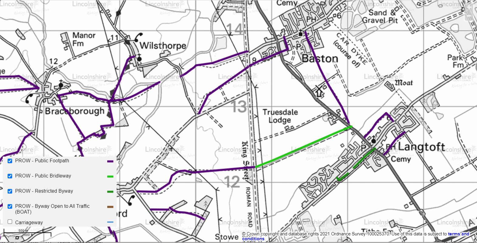
Footpaths
Langtoft Footpath No.4 (A15 entrance)
There are a number of footpaths in and around Langtoft. Please see the Definitive Map.
The Annual Parish Walk is organised each summer to help maintain use of these paths.
Details of the footpaths are listed below with the option to download an annotated map from Lincolnshire County Council Rights of Way.
1. Runs from A15 to King Street - known as The Long Walk
2. Runs from A15 to West End /Stowe Rd- known as The Back Lane - was a 'Rupp' reclassified in May 2006 to a Restricted Byway (RB) - see note below
3. Runs from Cemetery (AI5) to New Rd
4. Runs from A15 to East End via East End playing field
5. Runs from A15 to Baston
6. Runs from King St to Market Deeping (not assessable due to gravel extraction, but in process of being diverted along Greatford Cut
7. Runs from East End to FP no 5 ( permissive path )
Note: Motor Vehicles and Rights of Way - New Legistration
On the 2nd May 2006 Section 47 of the Countryside and Rights of Way Act 2000 came into force. This legistration reclassifies all those routes which were shown as Roads Used as a Public Path (RUPPs) to become a new designation, that of Restricted Byway (RB).
Whereas there was often confusion over what rights of access the public could exercise on a RUPP it is now clarified in that on a Restricted Byway there is a right to walk, cycle, ride a horse or use the route in a "non-mechanically ropelled vehicle", (for example, a pony and trap).